Rae Lakes Loop in Kings Canyon National Park
Sierra Nevadas, California
A few pictures from a July 2012 hike in King's Canyon National Park. We camped a total of three nights to complete Rae Lakes Loop.
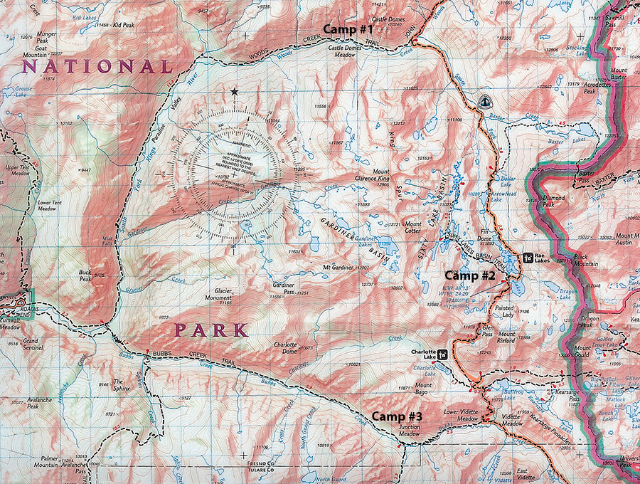
Starting at Road's End on the left, we hiked about 45 miles on Rae Lakes Loop going
clockwise.
We camped our first night at Castle Dome Meadow (top), our second
nights at Rae Lakes (towards right),
and our final night at Junction Meadow (bottom)
.
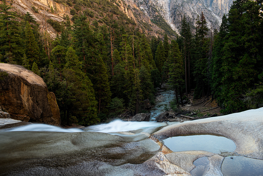
About five miles into our first day, we encounter Mist Falls.
Perfect spot for our first break!
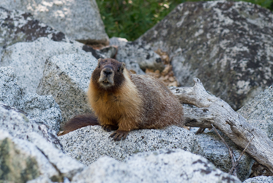
Nearby, a Marmot. Earlier we saw a black bear.
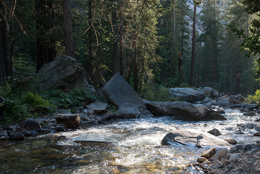
Beyond Mist Falls, we enter Paradise Valley where we take a break along the river's shore.
Only 25 backcountry permits are issued daily on this entrance to the Sierras, but through
most of the day, we see nobody else along our trail (except for a bear).
After about 9 miles, we are on the top left of the topographic map, now turning East following Woods Creek.
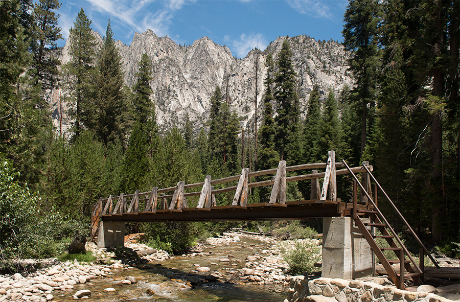
We eventually merge with the John Muir Trail. A bridge above eases this river crossing.
After a hard thirteen mile hike gaining 3,000 feet, we set up our first camp.
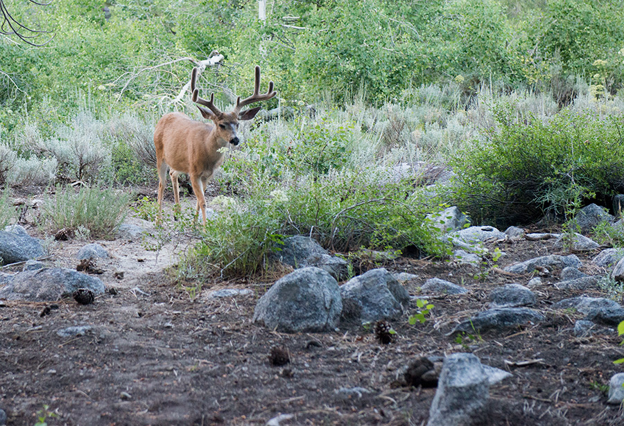
The following moring, a deer appears at our campsite.
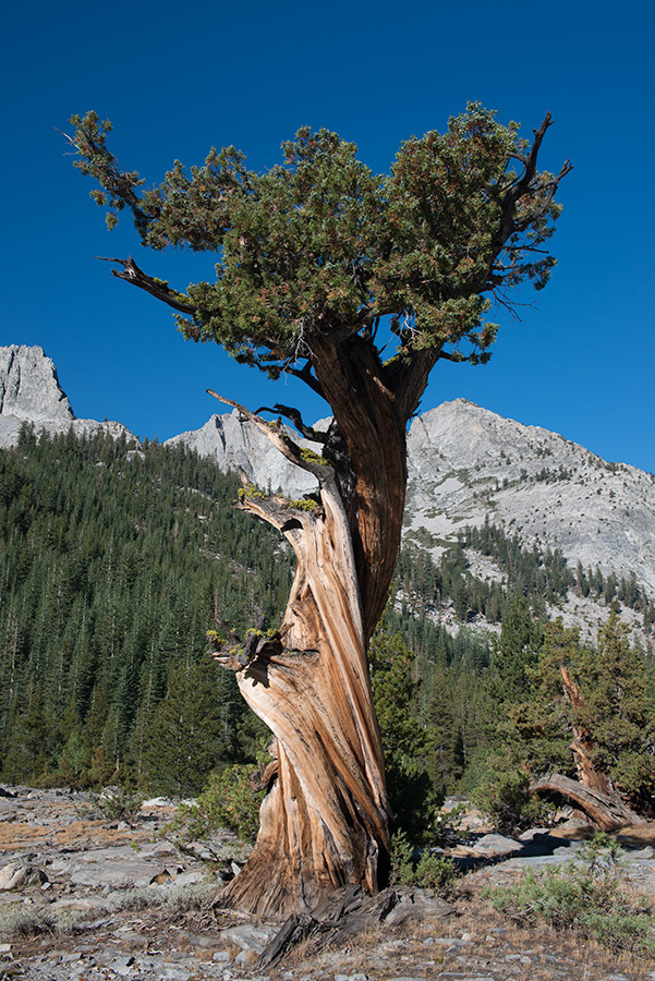
A Bristle Cone Pine.
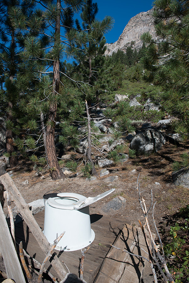
We reach an intersection with the John Muir Trail (JMT) and encounter a rare wilderness luxury.
The view as seen while using the toilet is hard to beat.
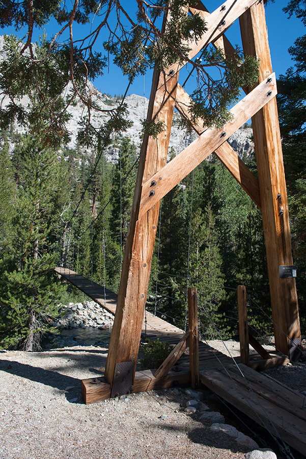
A second bridge crossing along the JMT.
We continue gaining elevation as we cross 10,000 feet above sea level.
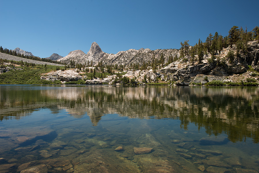
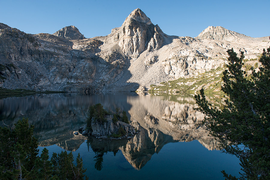
We come across Dollar Lake high in the Sierras as we approach our second destination.
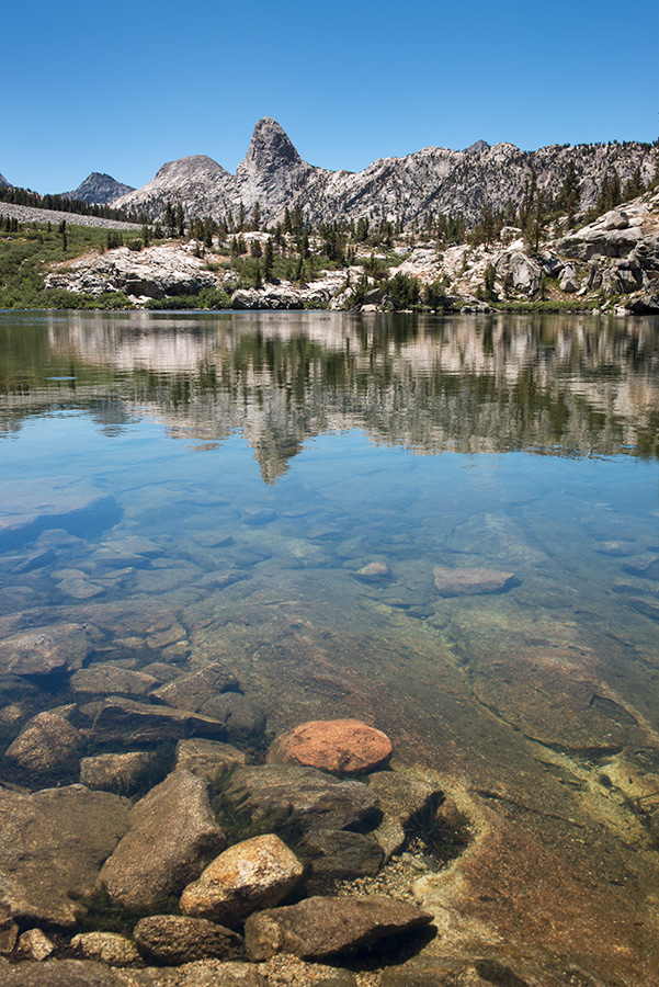
The pristine and transparent waters of Dollar Lake.
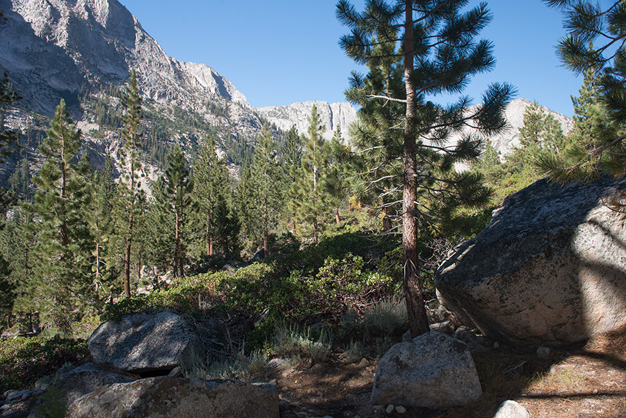
JMT Trail scenery.
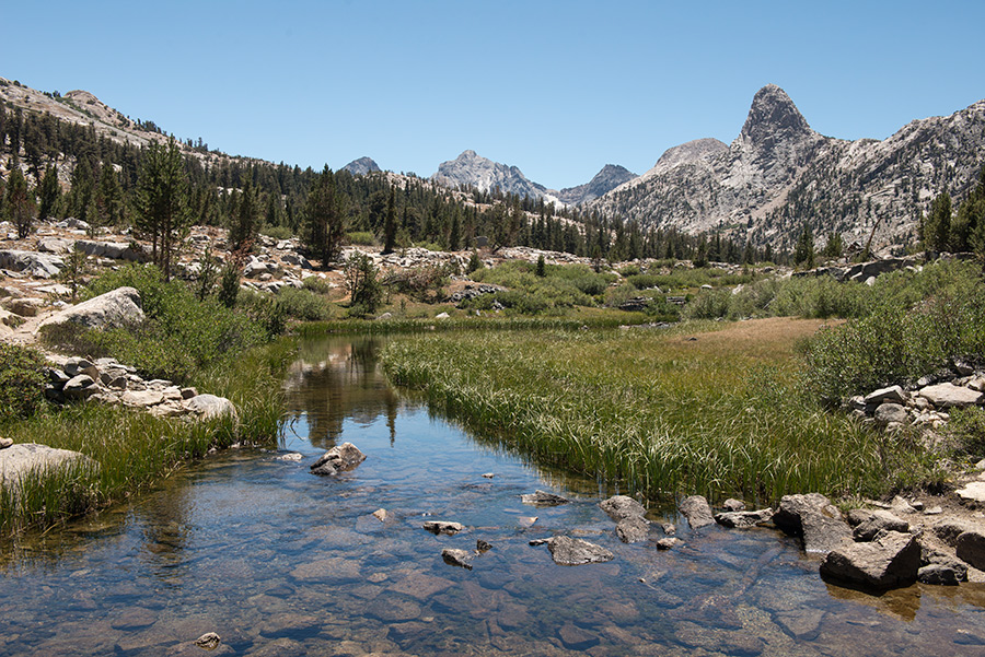
Run off from alpine lakes with Fin Dome in the distance.
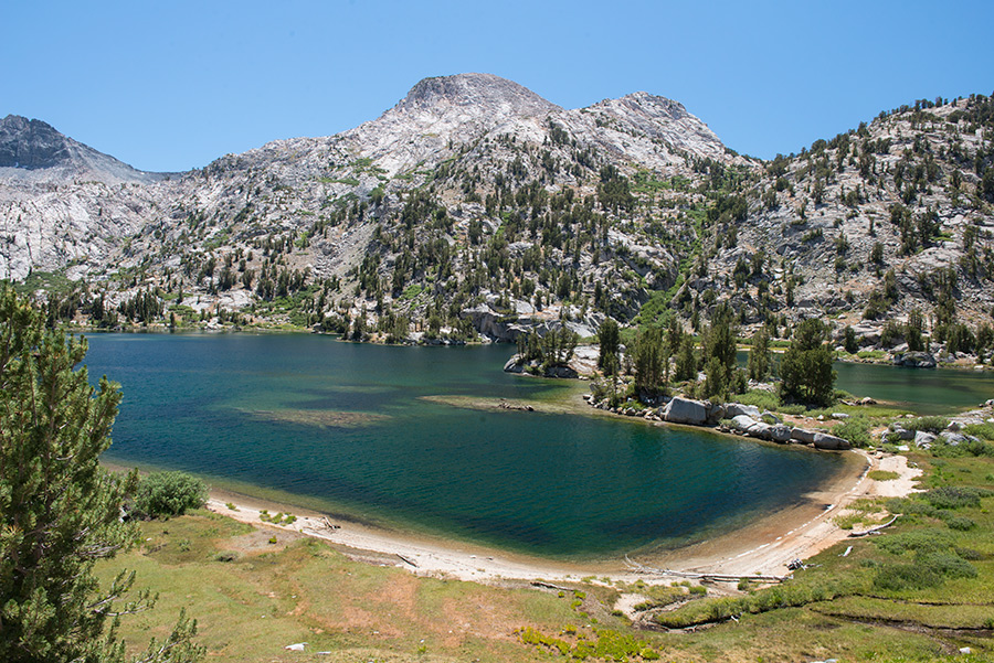
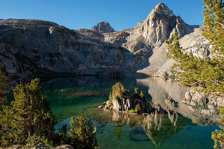
Another alpine lake, Arrowhead Lake, featuring a beachfront area.
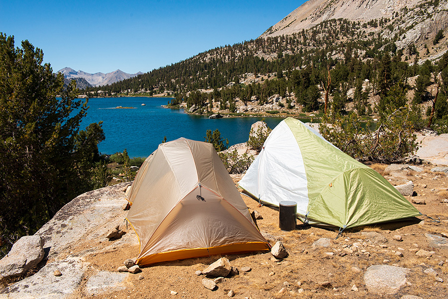
Finally, after twelve miles on day two, we arrive at our destination, Rae Lakes.
We set up camp with prime views of the lake.
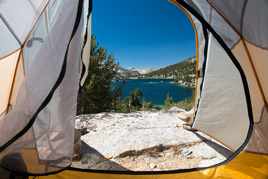
Window view from my tent.

Upper Rae Lake at dusk.
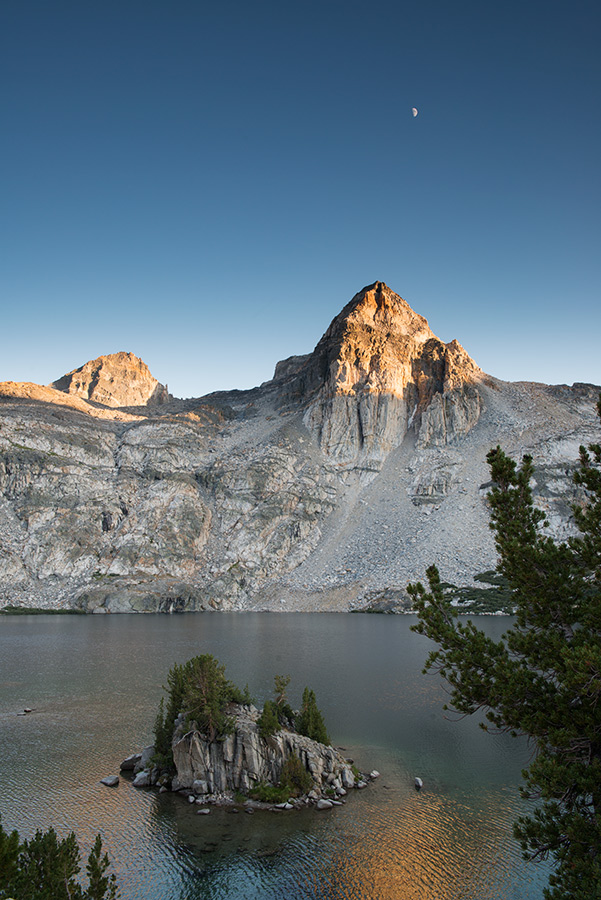
Moon rise over Upper Rae Lake.
Middle Rae Lake becomes reflective as winds die down.
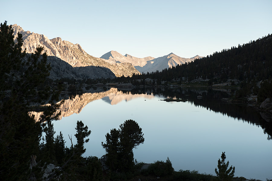
Morning scene, Upper Rae Lake.
Seeing through the clear waters of Upper Rae Lake.
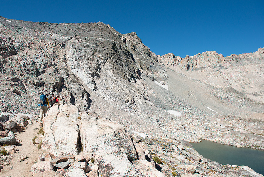
On day three we begin our ascent to Glen Pass. At 12,000 feet above sea level we climb above
the tree line. From the snow patches above, we trace the origins of the water that
flows down to the river we saw a mile below us in Paradise Valley.
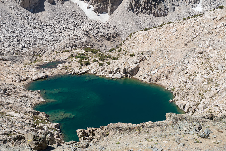
A sharp green lake formed by a bowl below Glen Pass. Our downward trail can be seen on the right.
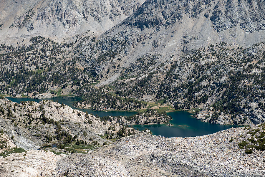
From Glen Pass, I photographed Rae Lakes, 1,500 feet below.
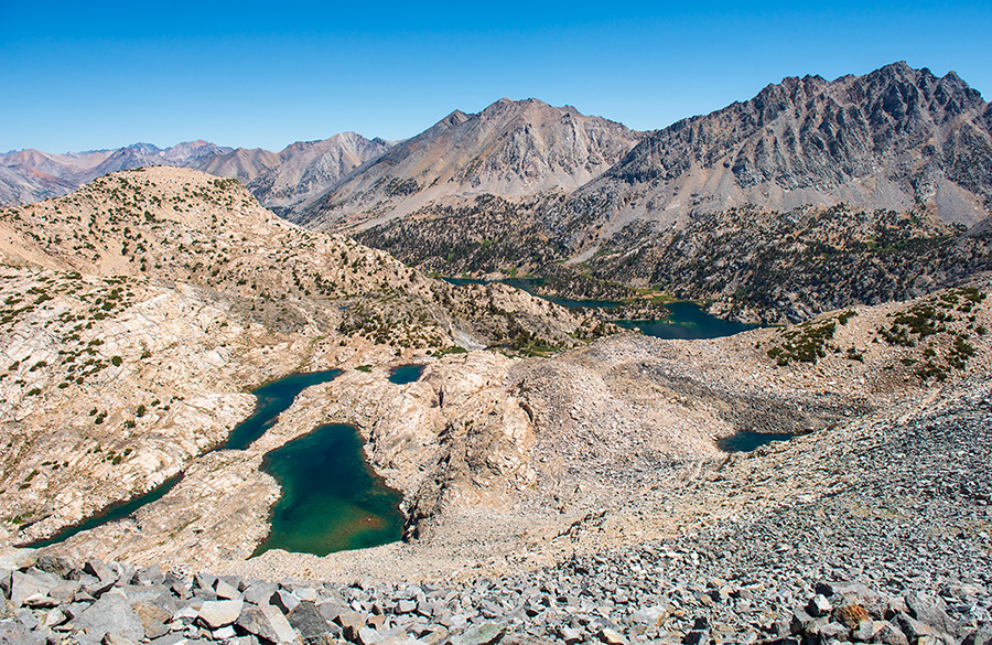
Another panoramic shot from Glen Pass.
We begin our 7,000 feet descent from Glen Pass during our third day of hiking.
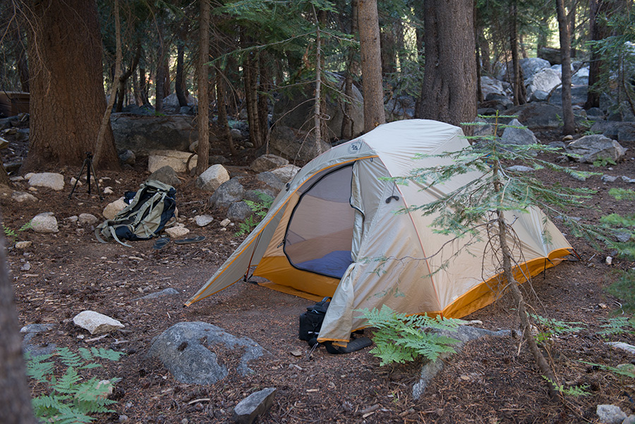
We finally reach our third and final campsite at Junction Meadow.
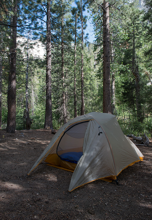
My tent, weighing 3.1lbs has been working very well.
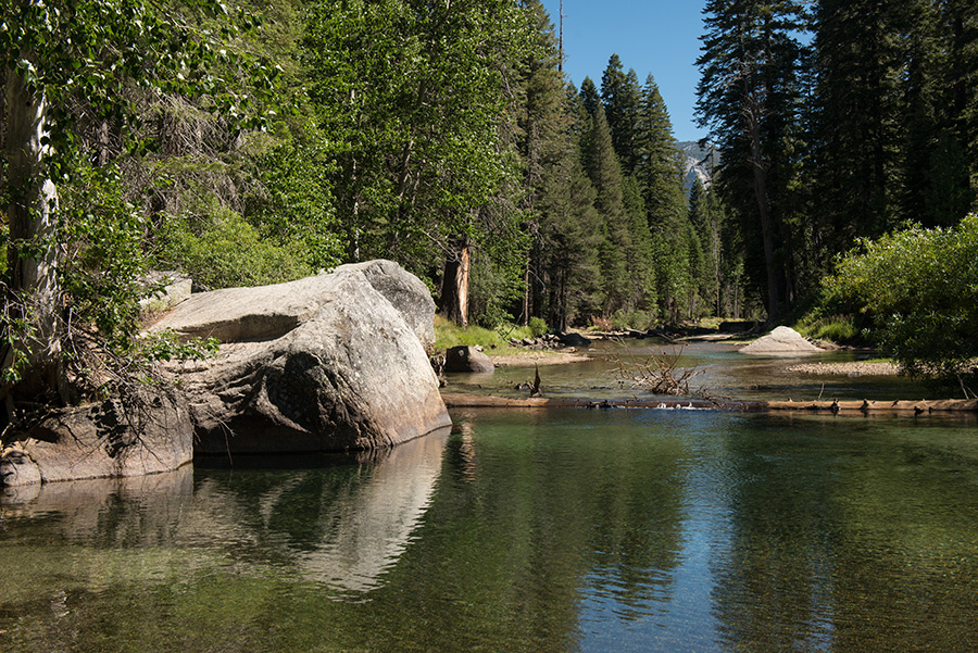
Our campsite was along Bubb's Creek.
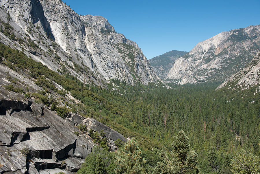
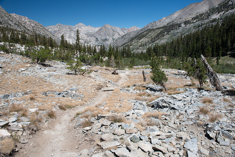
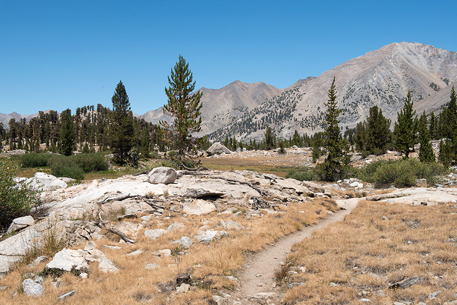
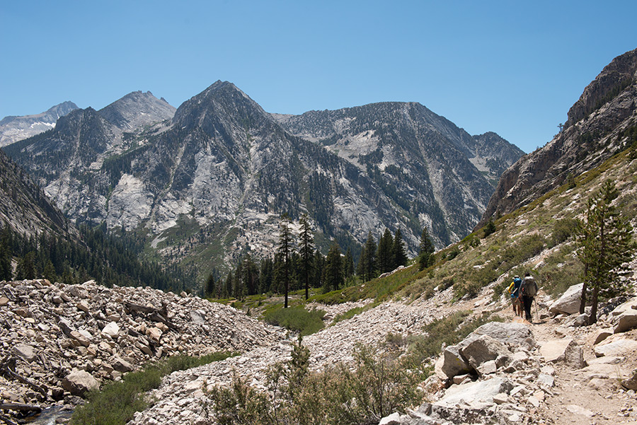
Day four of our hike, we descend eleven miles towards the finish line, seen at the end of this valley.
![]()