Rae Lakes Loop in Kings Canyon National Park
Sierra Nevadas, California
A few pictures from a July 2010 hike in King's Canyon National Park. We camped a total of three nights to complete the Rae Lakes Loop.
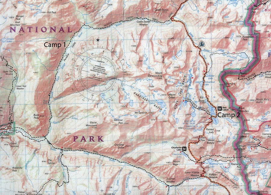
Starting at Road's End on the left, we hiked about 45 miles on the Rae Lakes Loop going
clockwise.
We camped our first night just past Paradise valley (upper left), and our second
two nights at Rae Lakes (towards right).
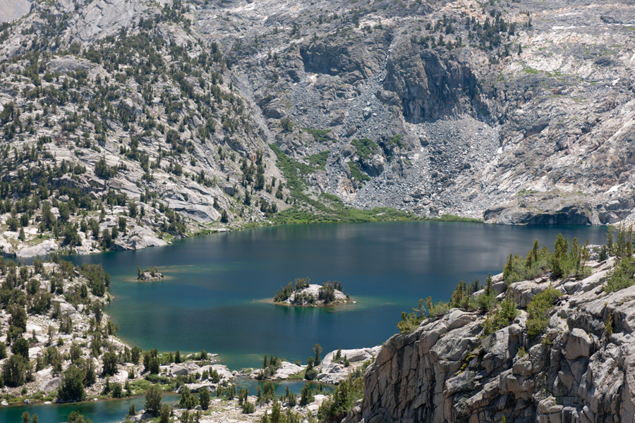
We used our rest day to explore Sixty Lake Basin
just West of Camp #2.
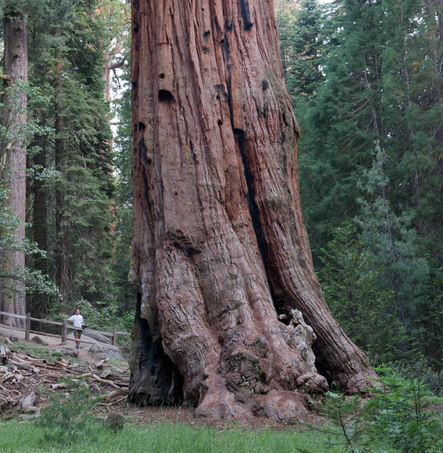
Prior to the hike, we visited huge Sequoia trees.
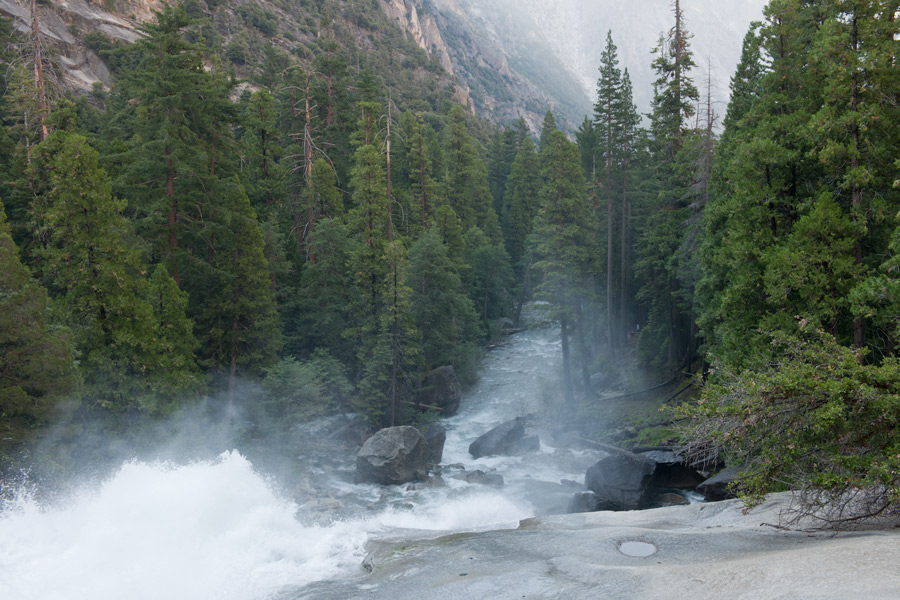
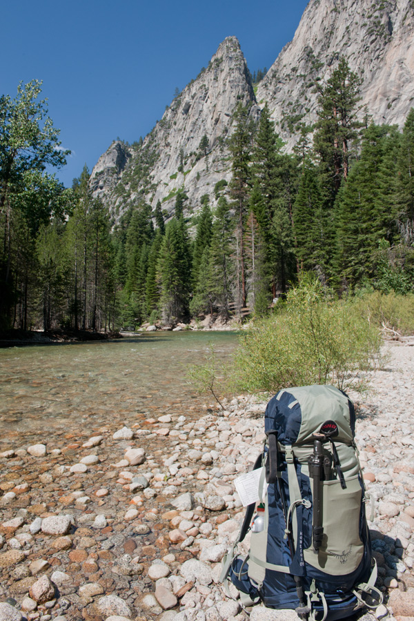
Hiking towards Paradise Valley we climbed along South Fork King's River, here, Mist Falls
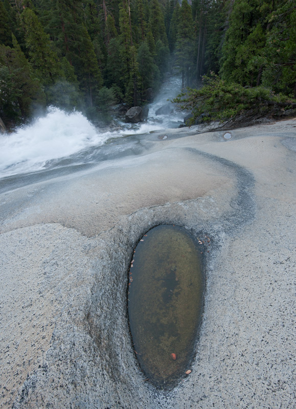
Mist Falls.
We reach Paradise Valley, aptly named.
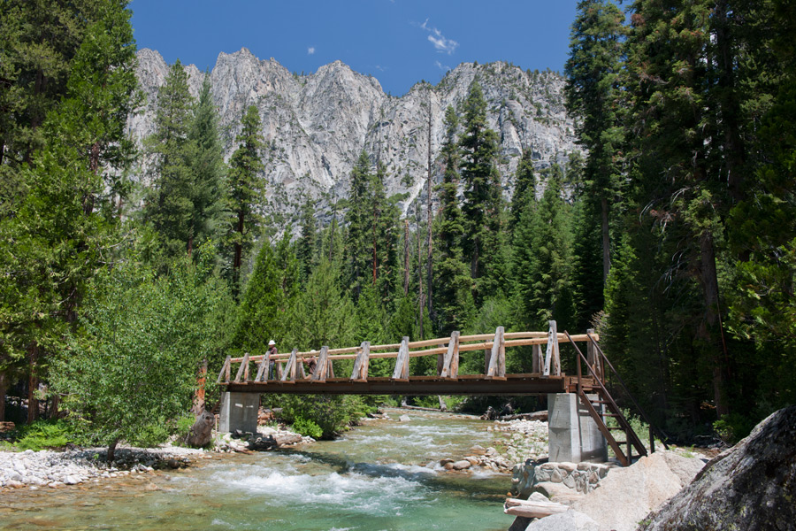
Day 2, we are on the top left of the topographic map, now turning East following Woods Creek.
At this point, we merge with the John Muir Trail. A bridge above eases this river crossing.
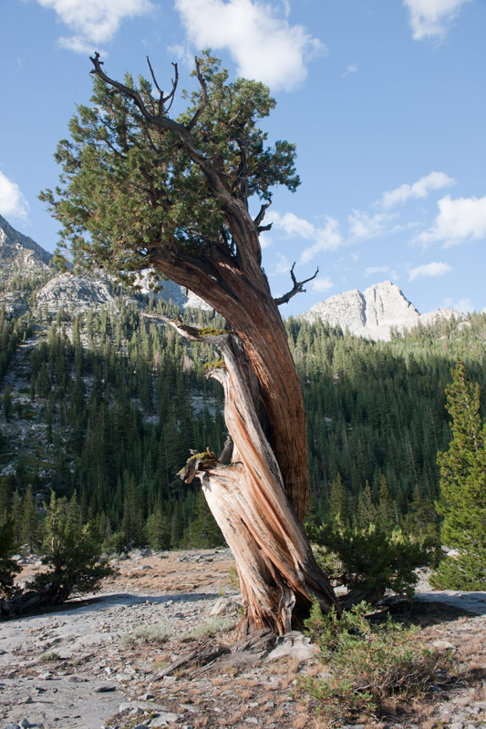
Bristlecone Pine, thought to live longer than any other known living organism,
aging up to 5,000 years.
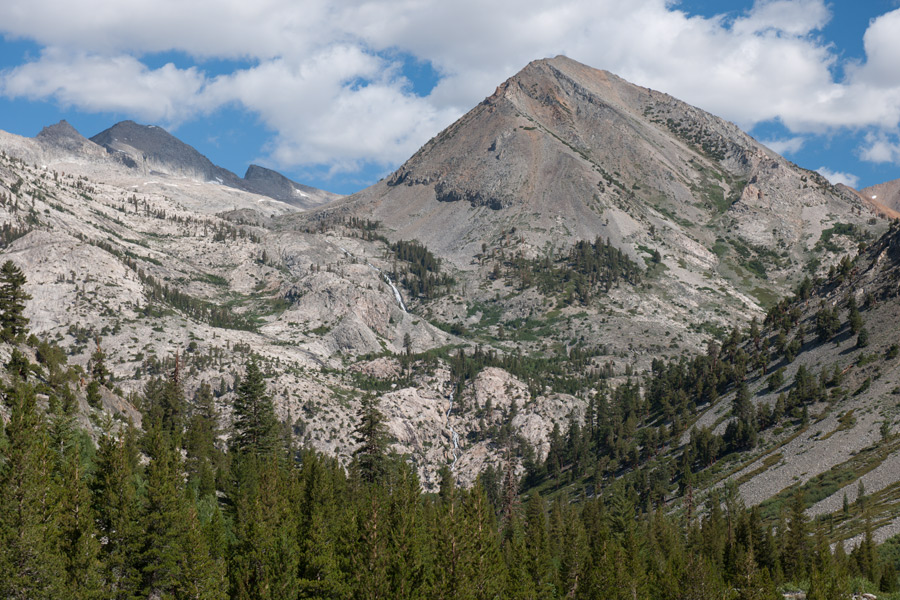
Climbing towards Rae Lakes, we gain majestic views through the thinning tree line as we reach 10,000 feet.
In the distance, a waterfall can be seen towards center.
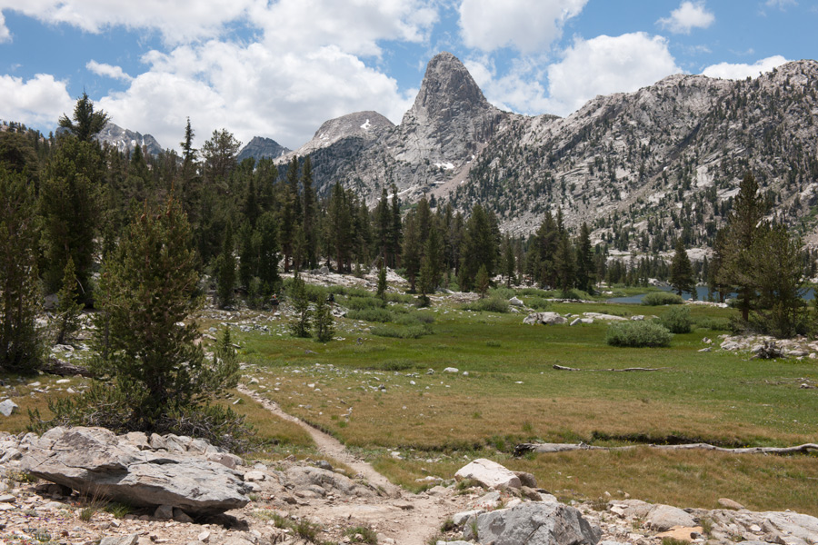
Our trail is seen above, approaching Rae Lakes.
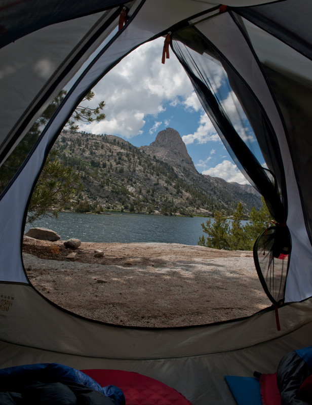
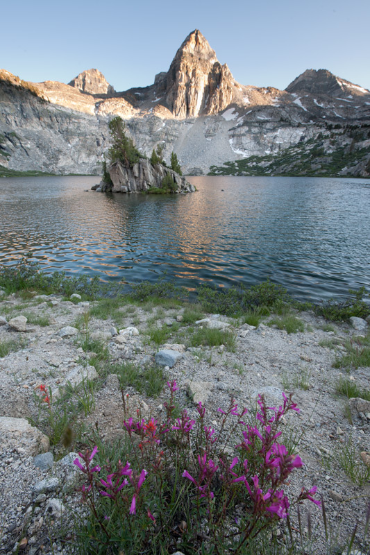
Camp set up complete, with a view of Fin Dome above Rae Lake.
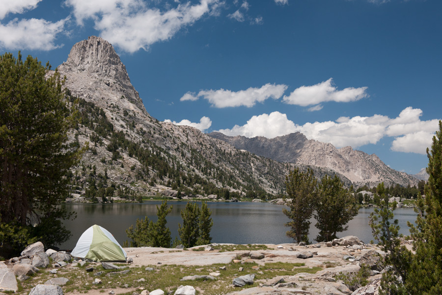
Our campsite on Rae Lake for two days, 20 miles away from the nearest car.

Rae Lake at midnight, lit by moonlight.
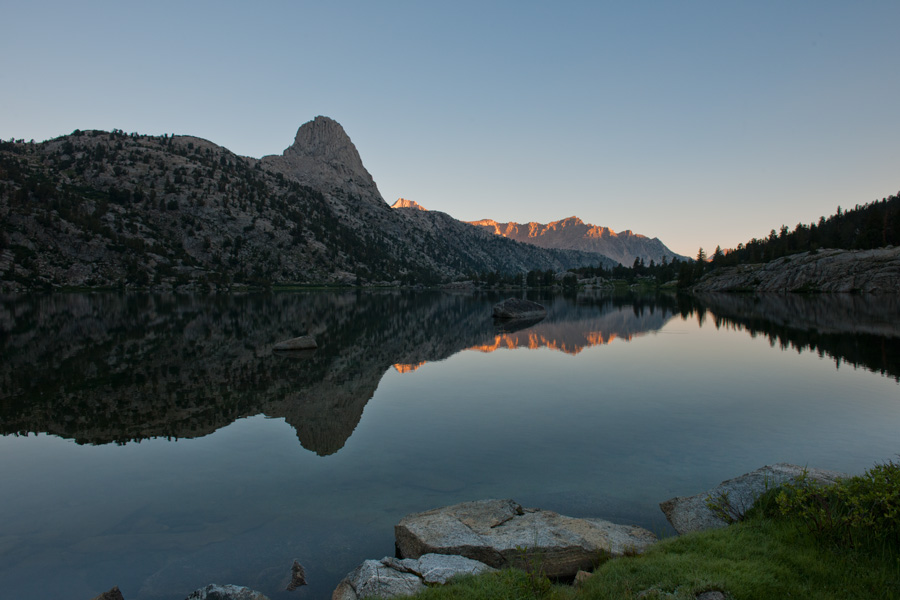
Rae Lake sunrise, with Fin Dome rising above.
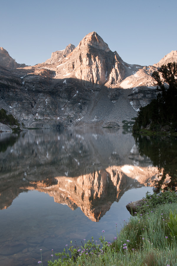
Early morning, Upper Rae Lake.
A view of Upper Rae Lake. Campsites are towards the lower left.
Upper Rae Lake.
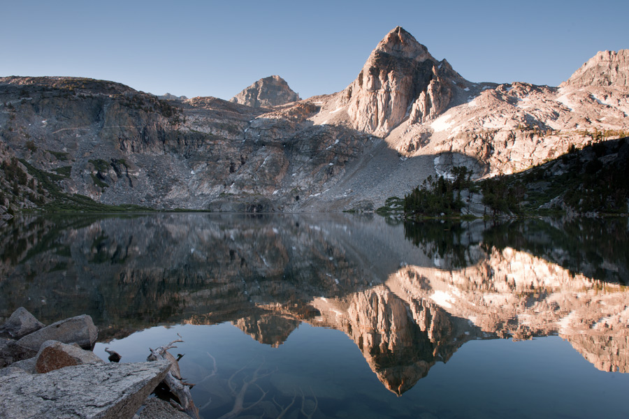
Morning reflections, Upper Rae Lake
Leaving Rae Lakes, we begin a long 21 mile hike back to Road's End trail head.
To start the day,
an ascent over 12,000 foot Glenn Pass.
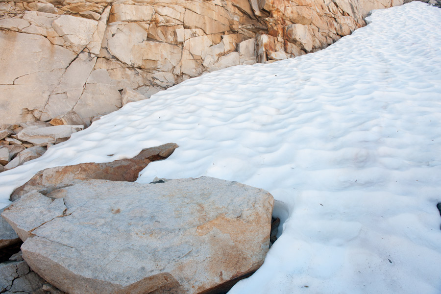
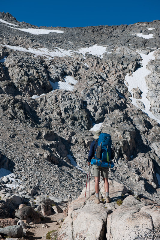
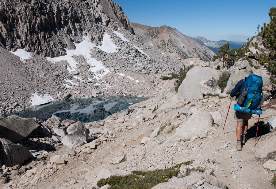
As we climb, we reach snow in late July.
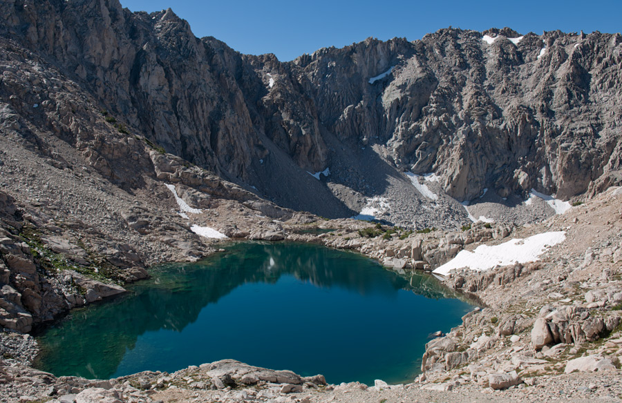
Looking down upon our climb, emerald colored lakes are seen among the moonscape rock.
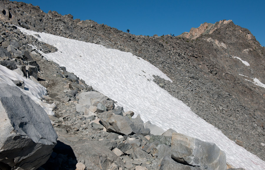
Approaching Glenn Pass, hikers can be seen on the ridge.
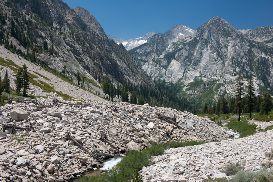
Once over Glenn Pass, we begin our descent towards Vidette Meadow.
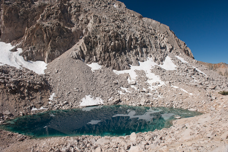
A reflective lake below Glenn Pass. Fish could be seen swimming below the clear water's surface.
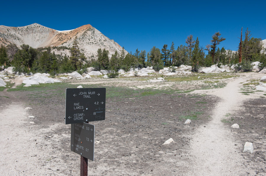
Two hours later, again below the tree line, we reach an intersection. Our exit is
Cedar Grove, still 18 miles to go!
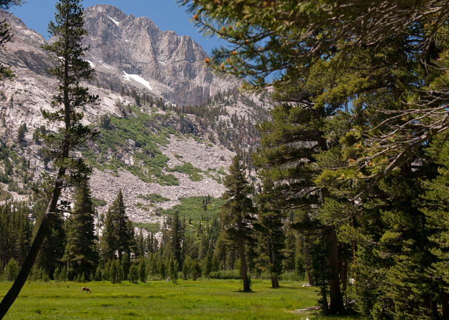
At Lower Vidette Meadow, an idyllic scene opens, deer included, in the lower left.
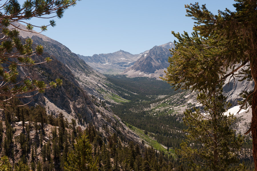
As we descend further, beautiful valley views open along Bubb's Creek.
Bubb's Creek seems more like a roaring river to me, as massive pine tree trunks
that were carried by snow melt runoff can be seen towards bottom.
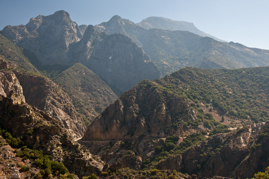
It took us about 12 hours to complete the 21 mile return hike with full packs, reaching a peak
height of 12,000 feet and ending at about 5,000 feet. Above, the paved road that leads to
the trailhead (roads end) can be seen. We finished the day with cheeseburgers and beer.
![]()